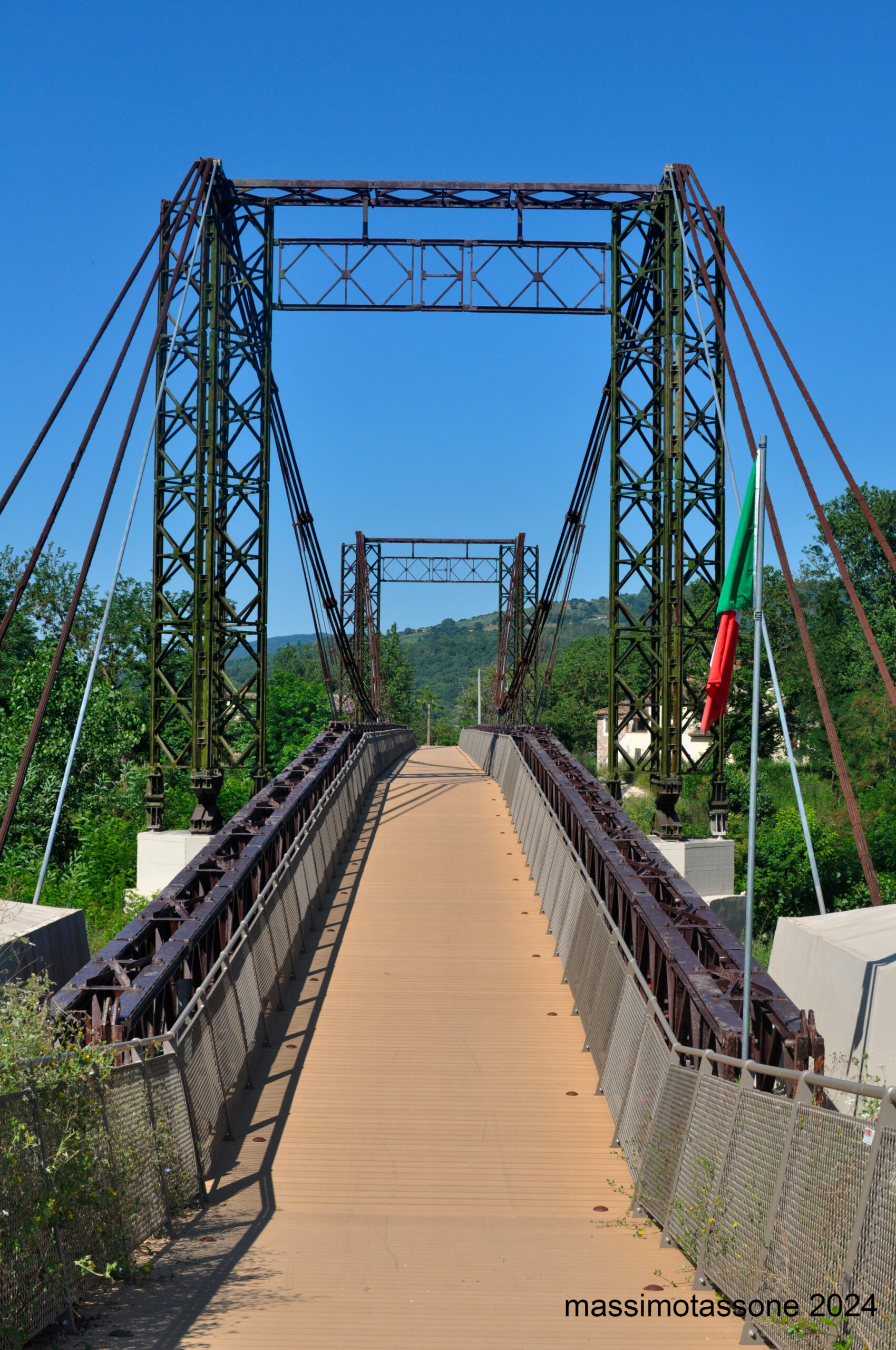
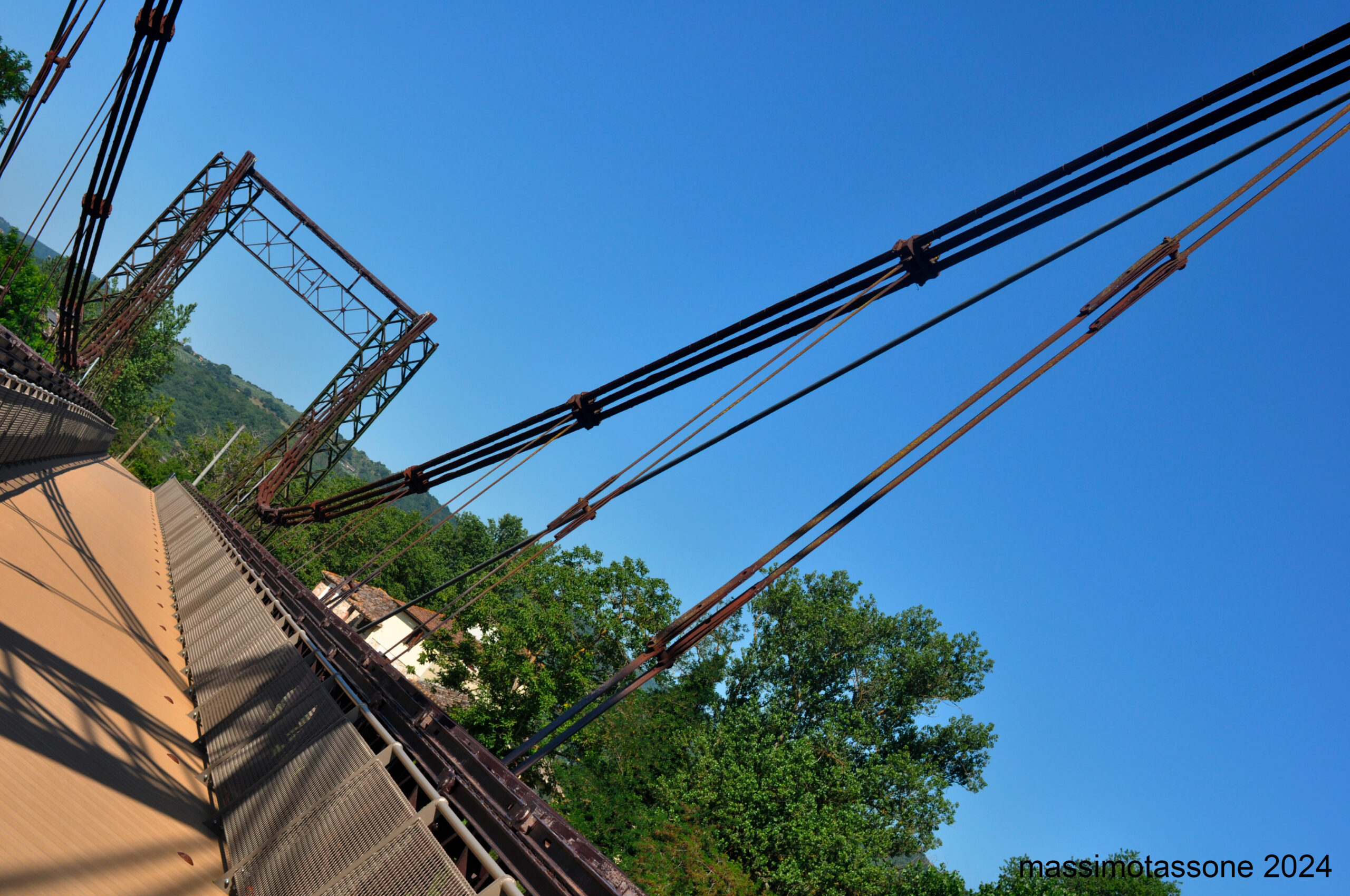
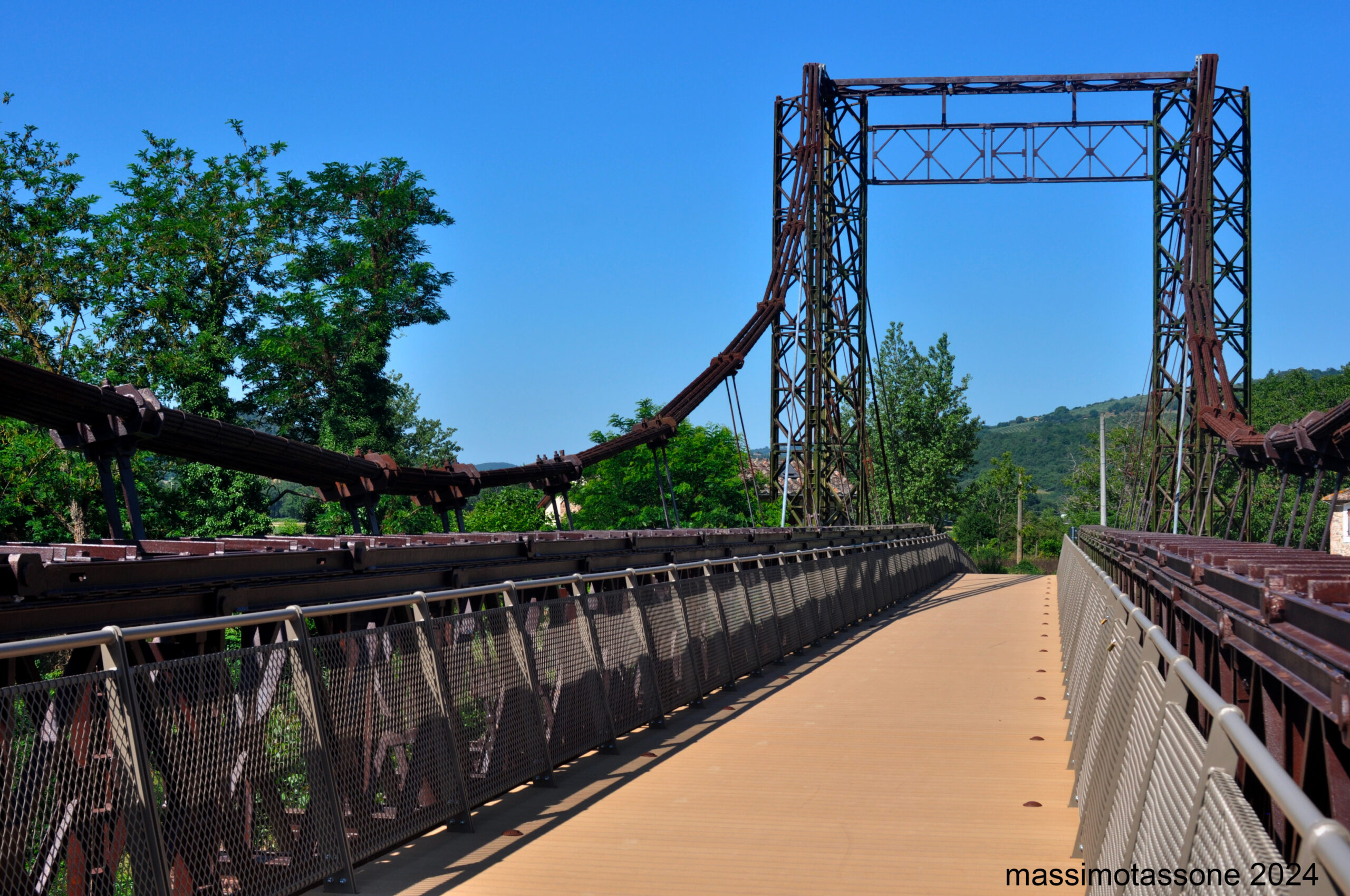
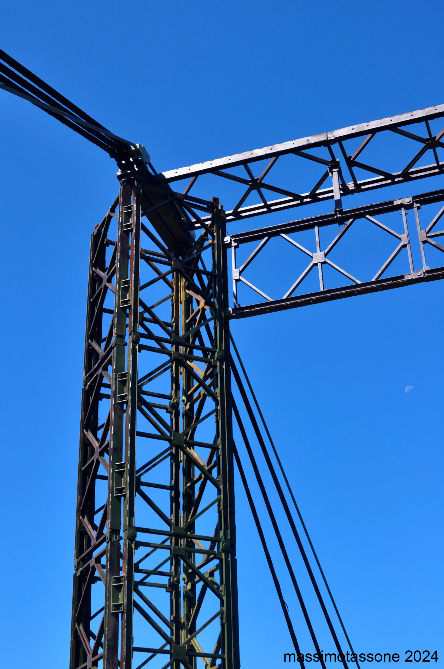
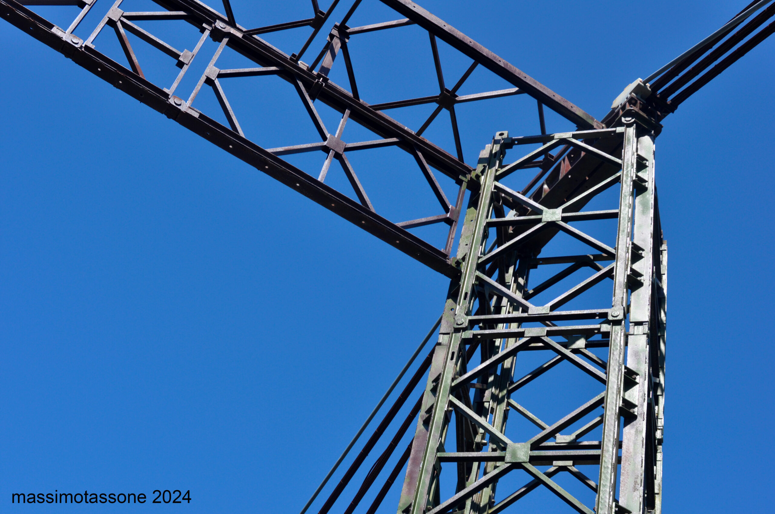
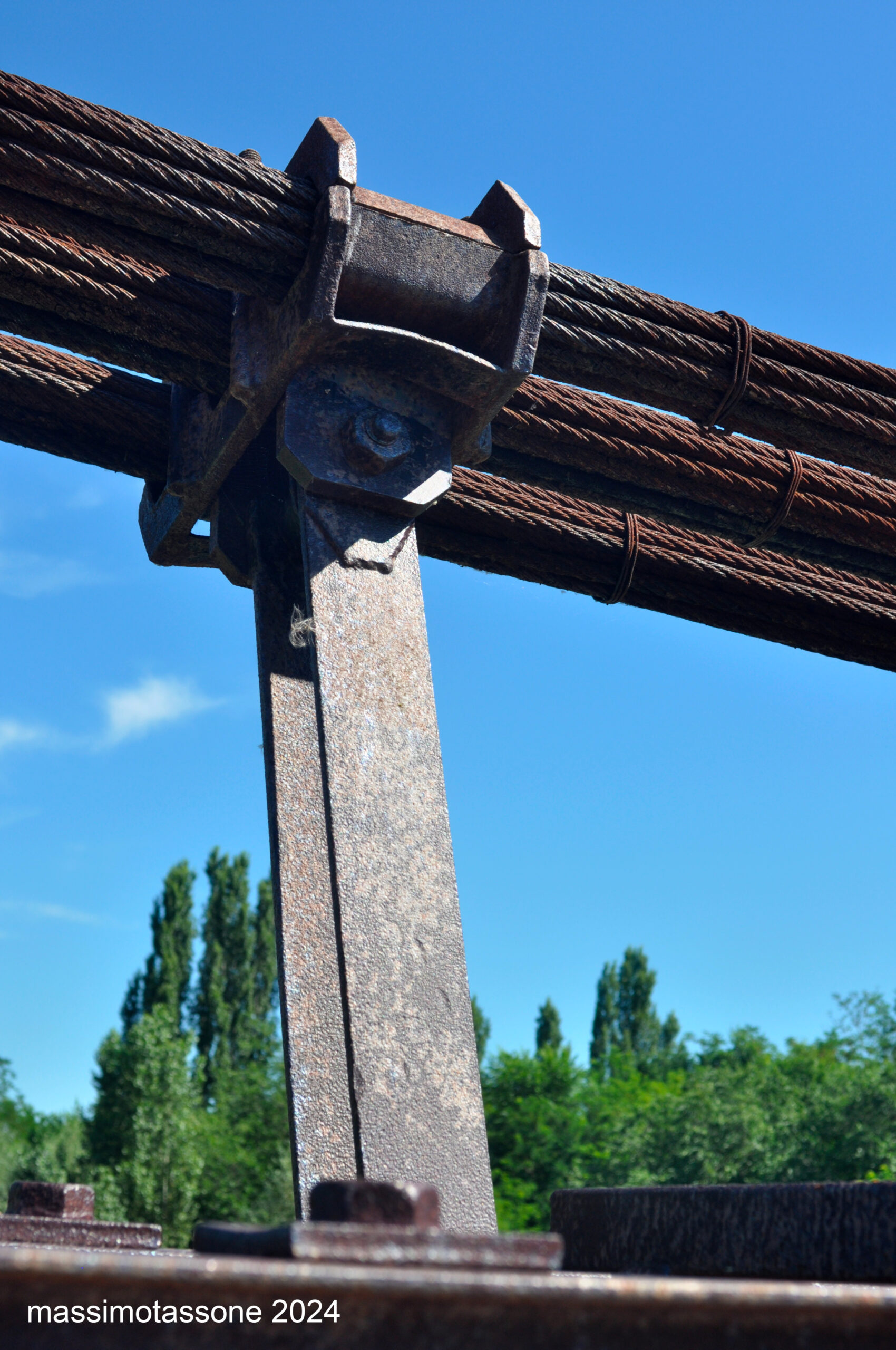
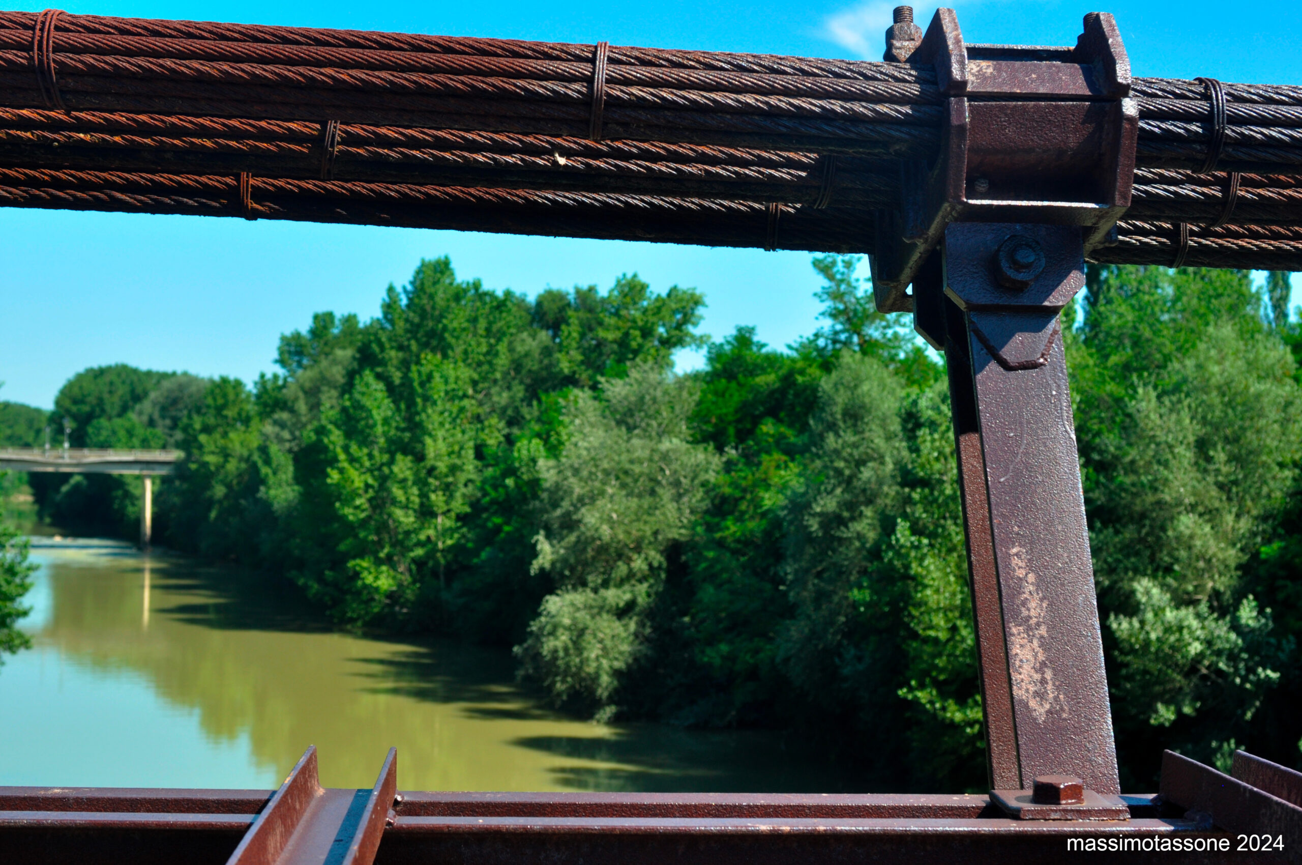
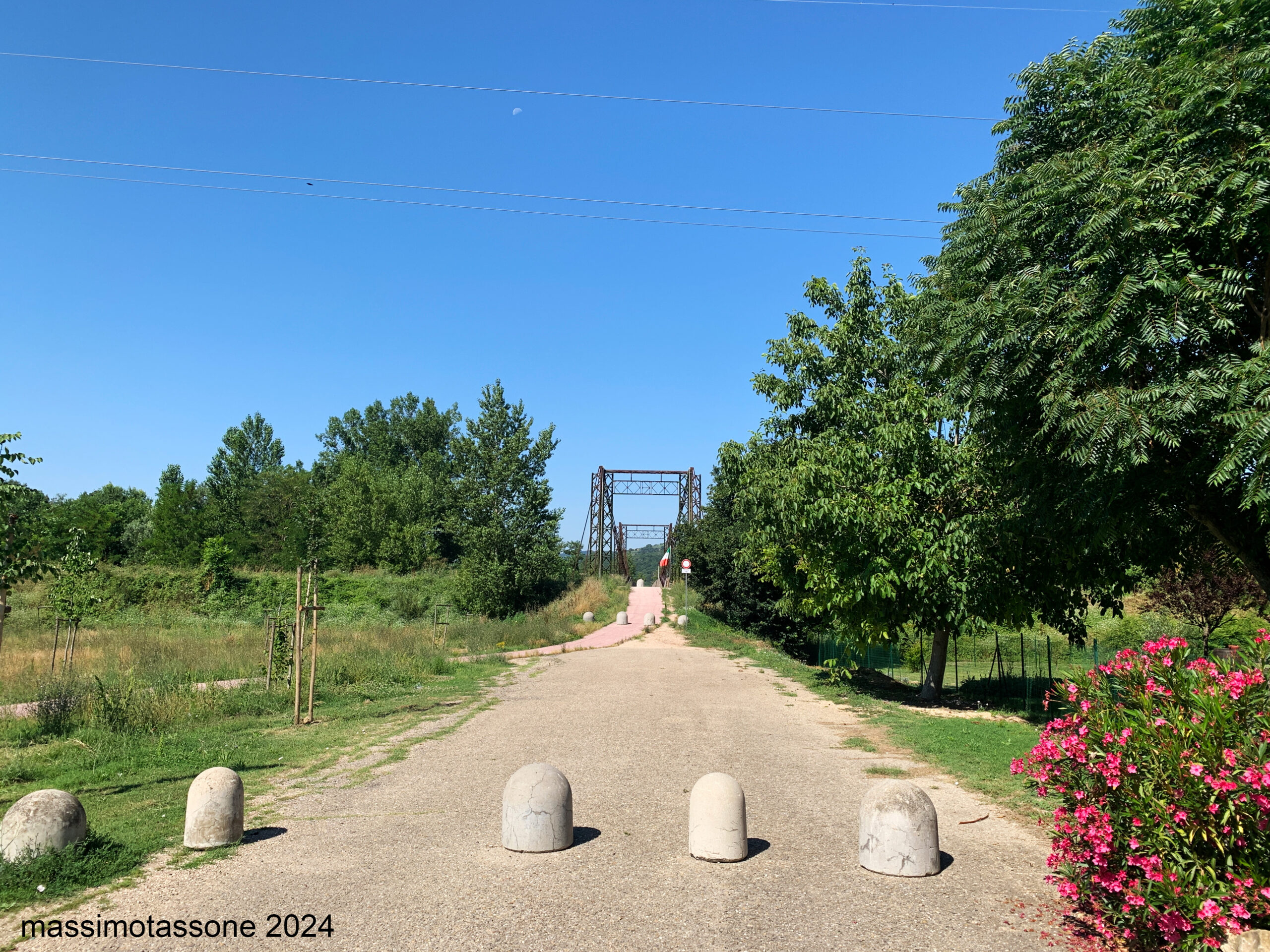
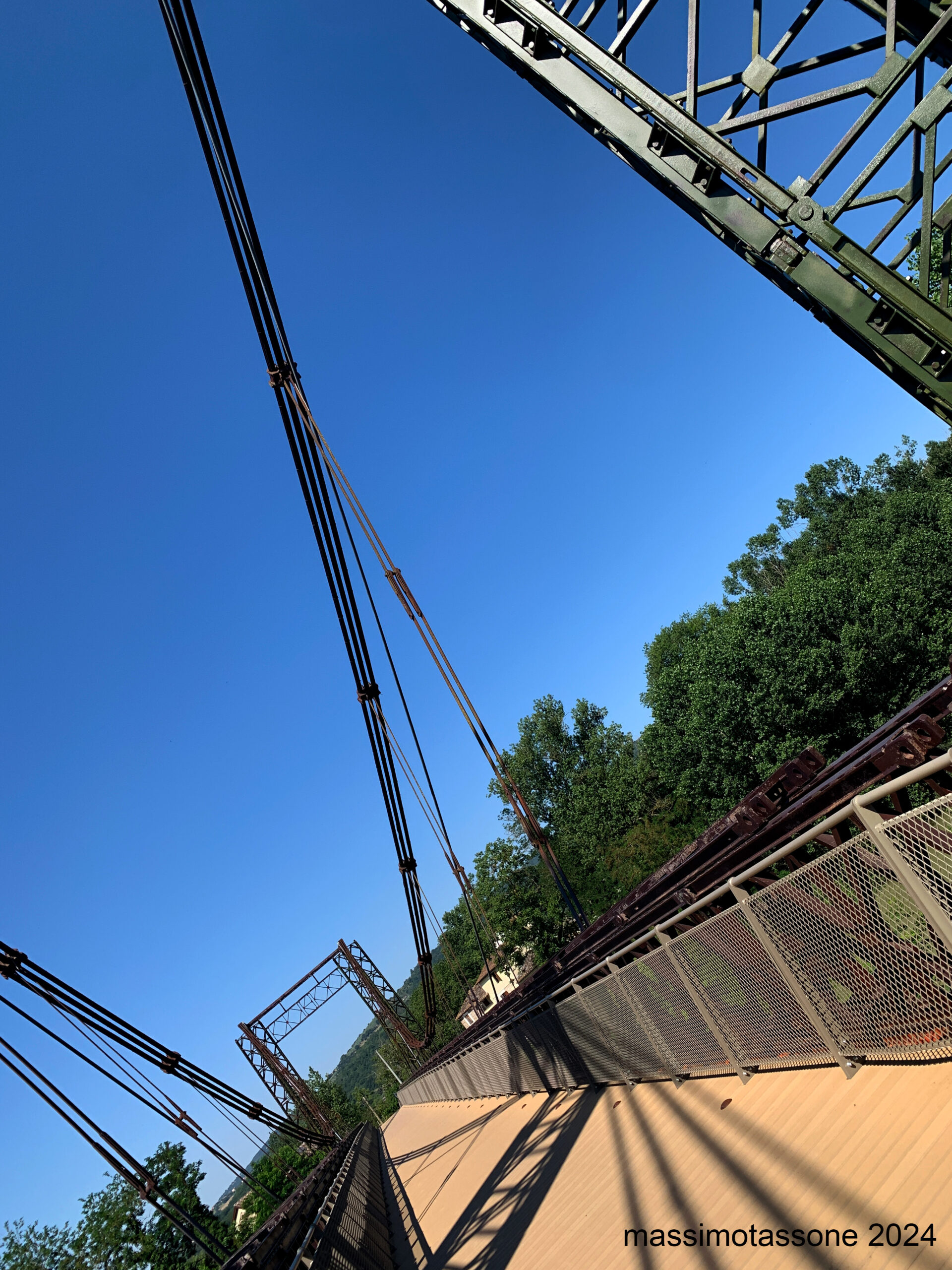
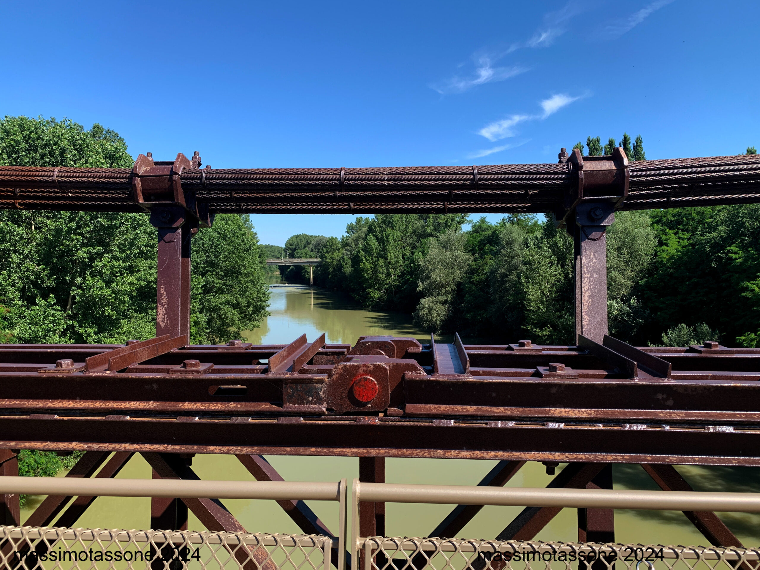
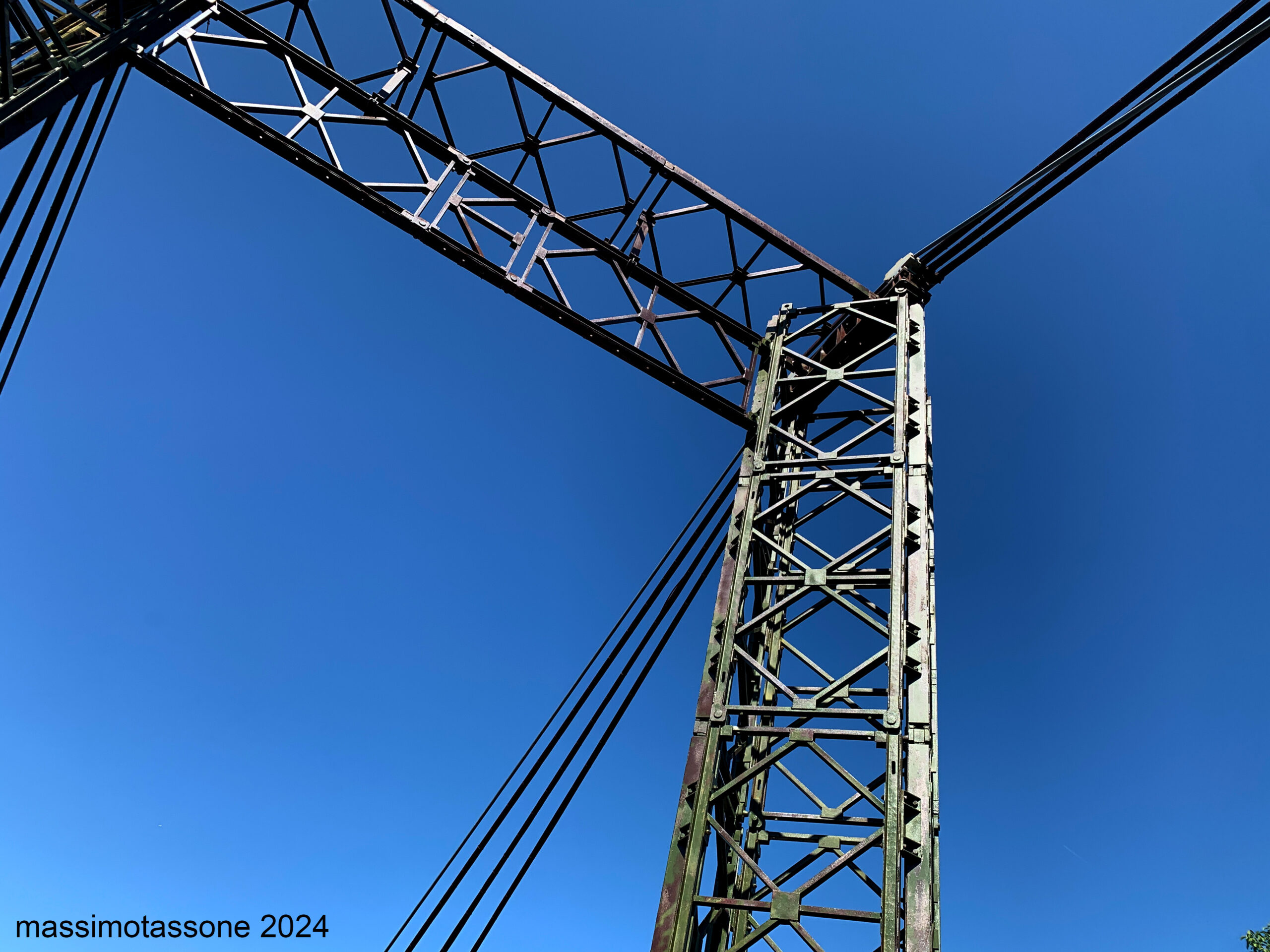
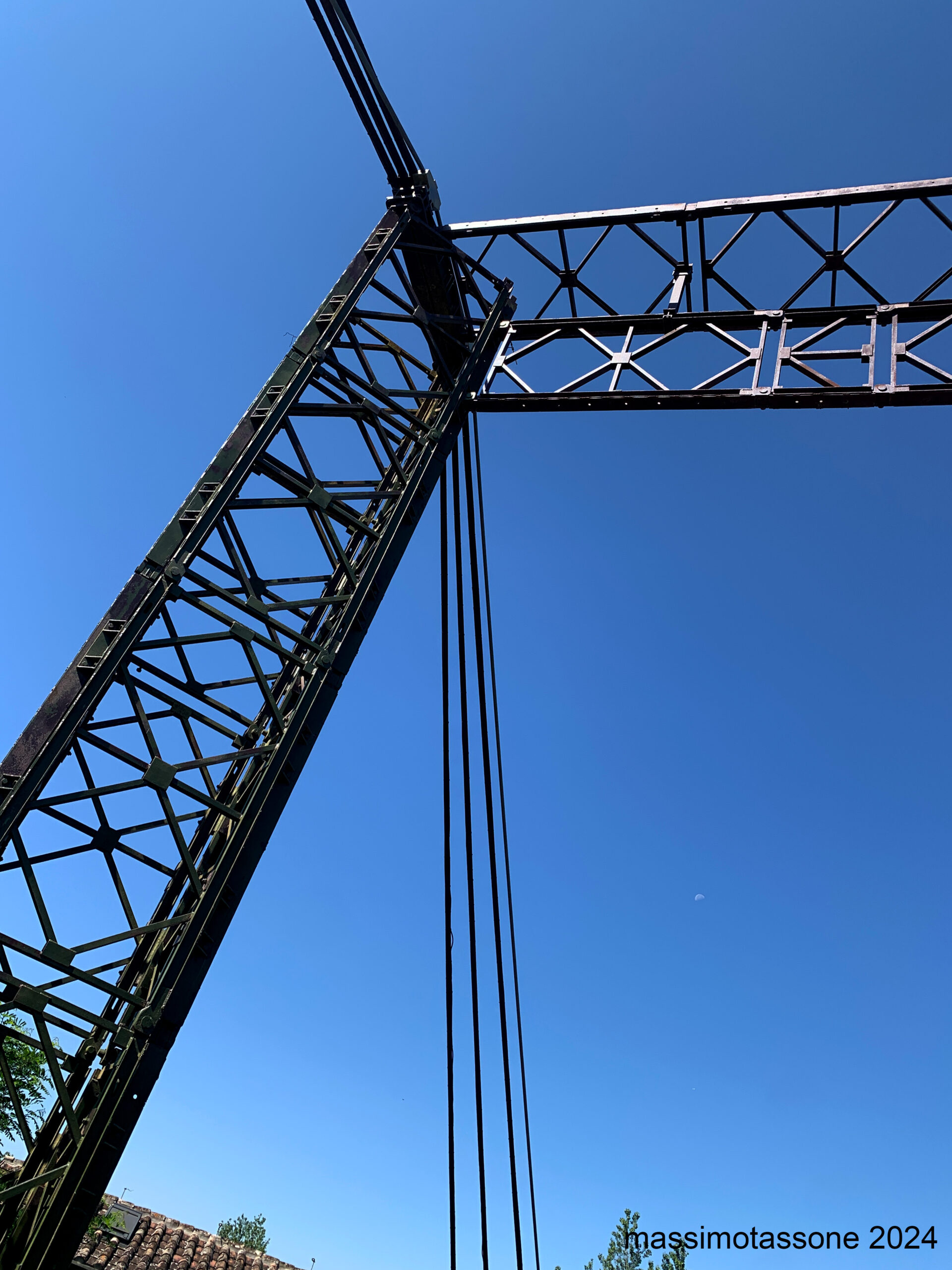
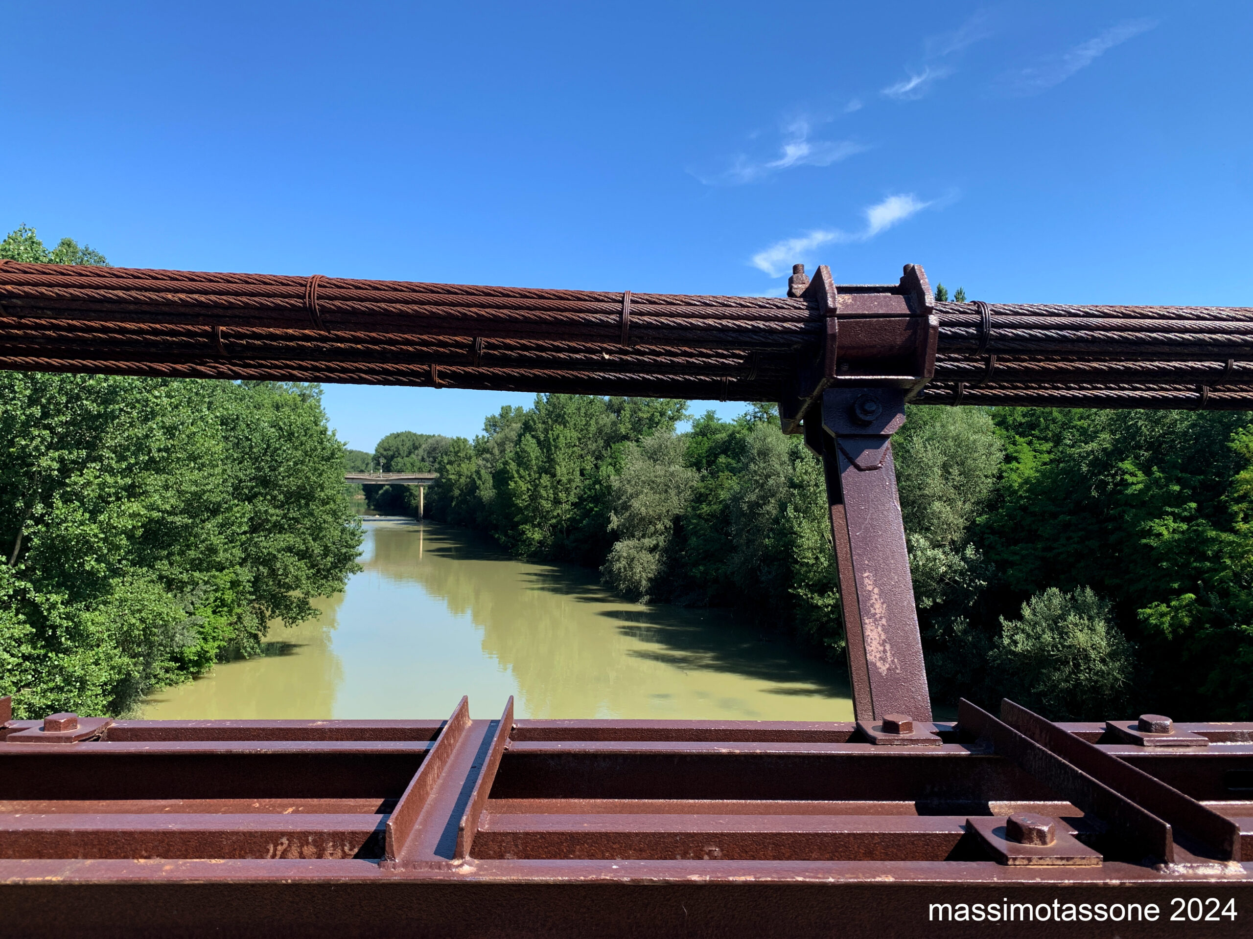
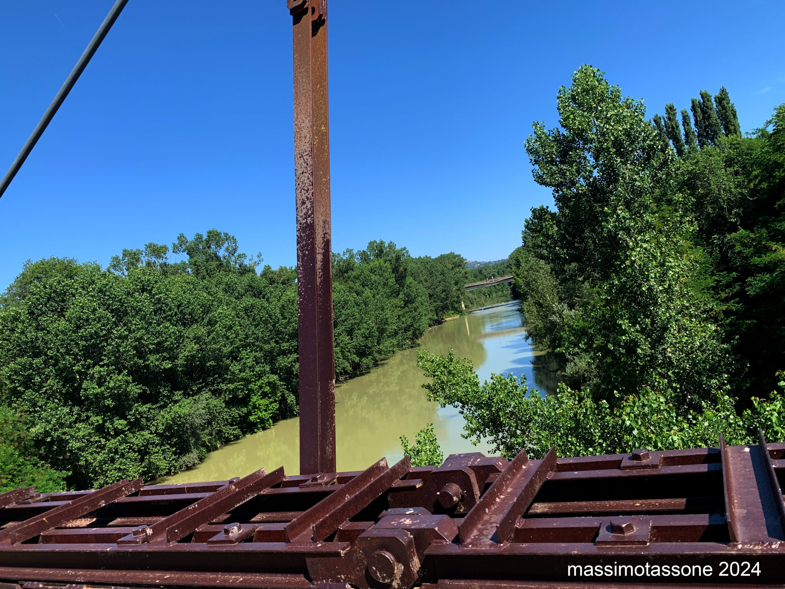
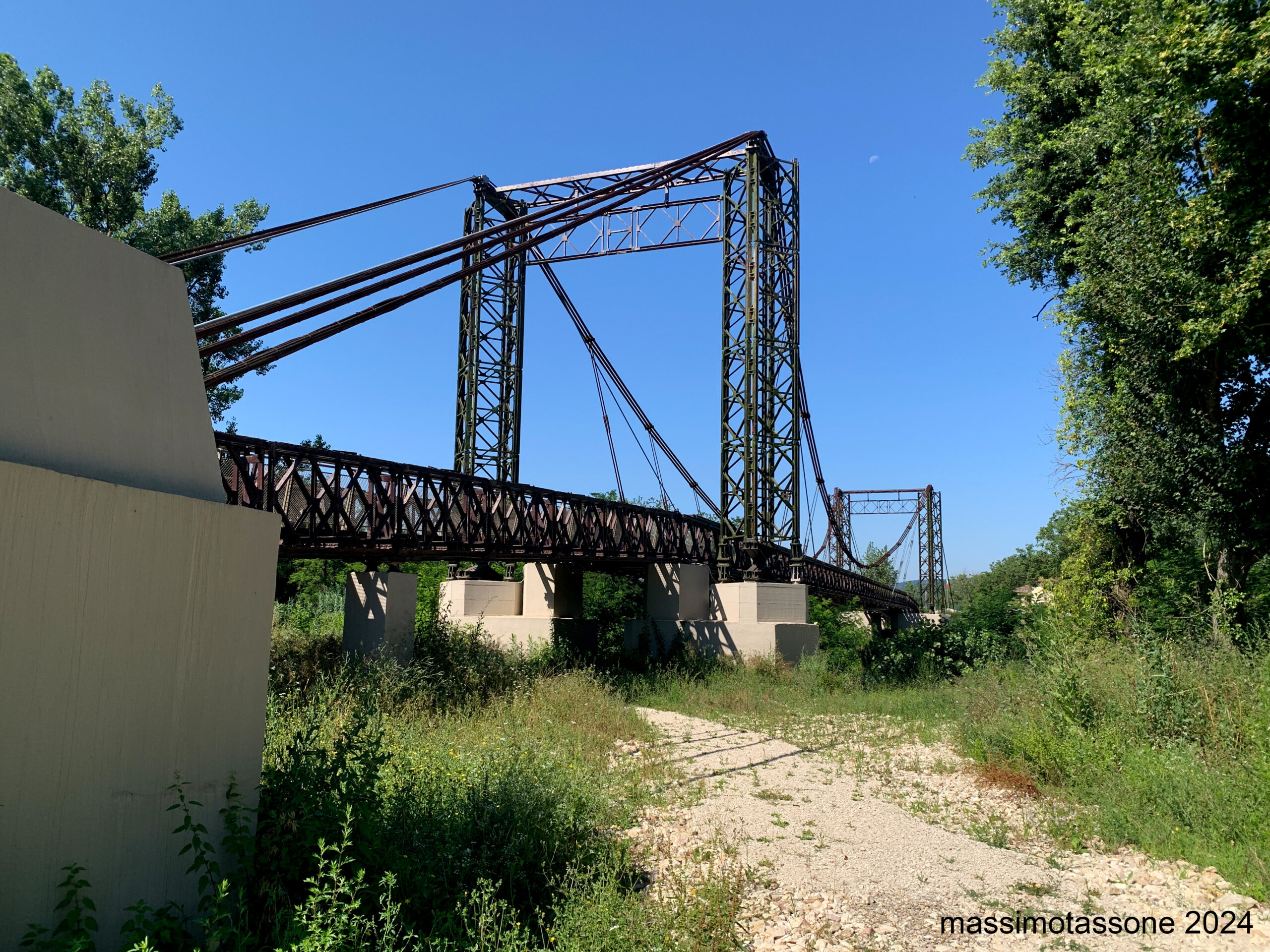
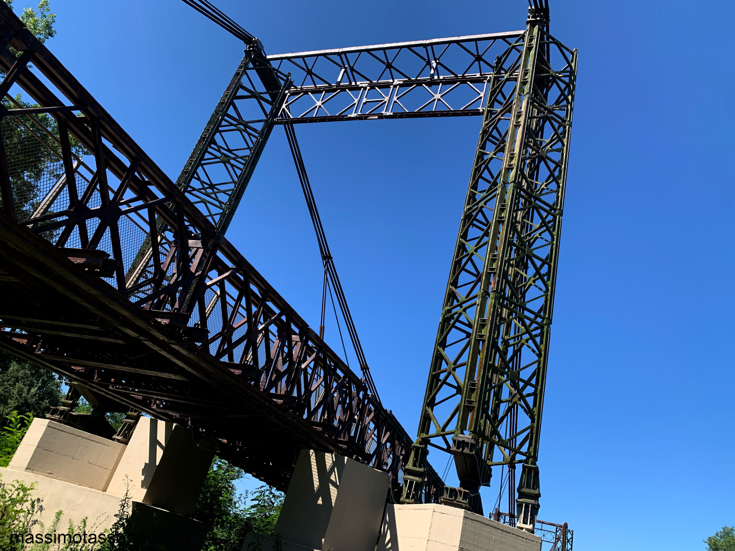
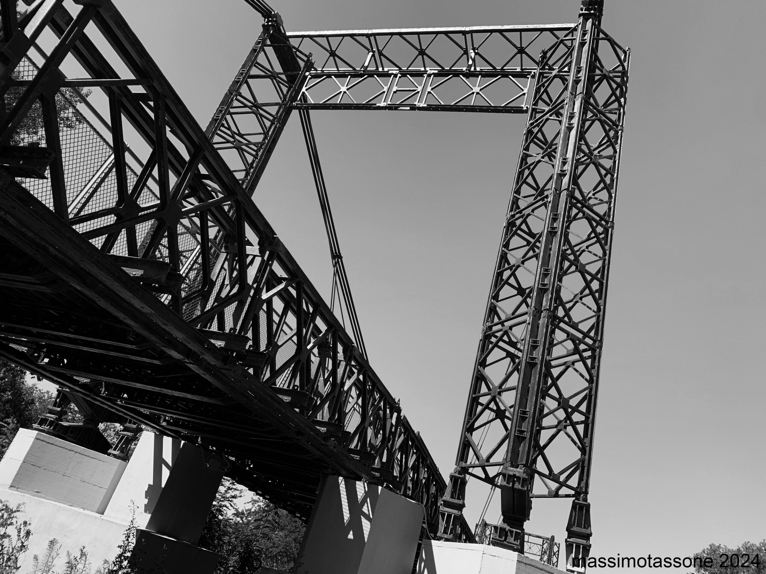
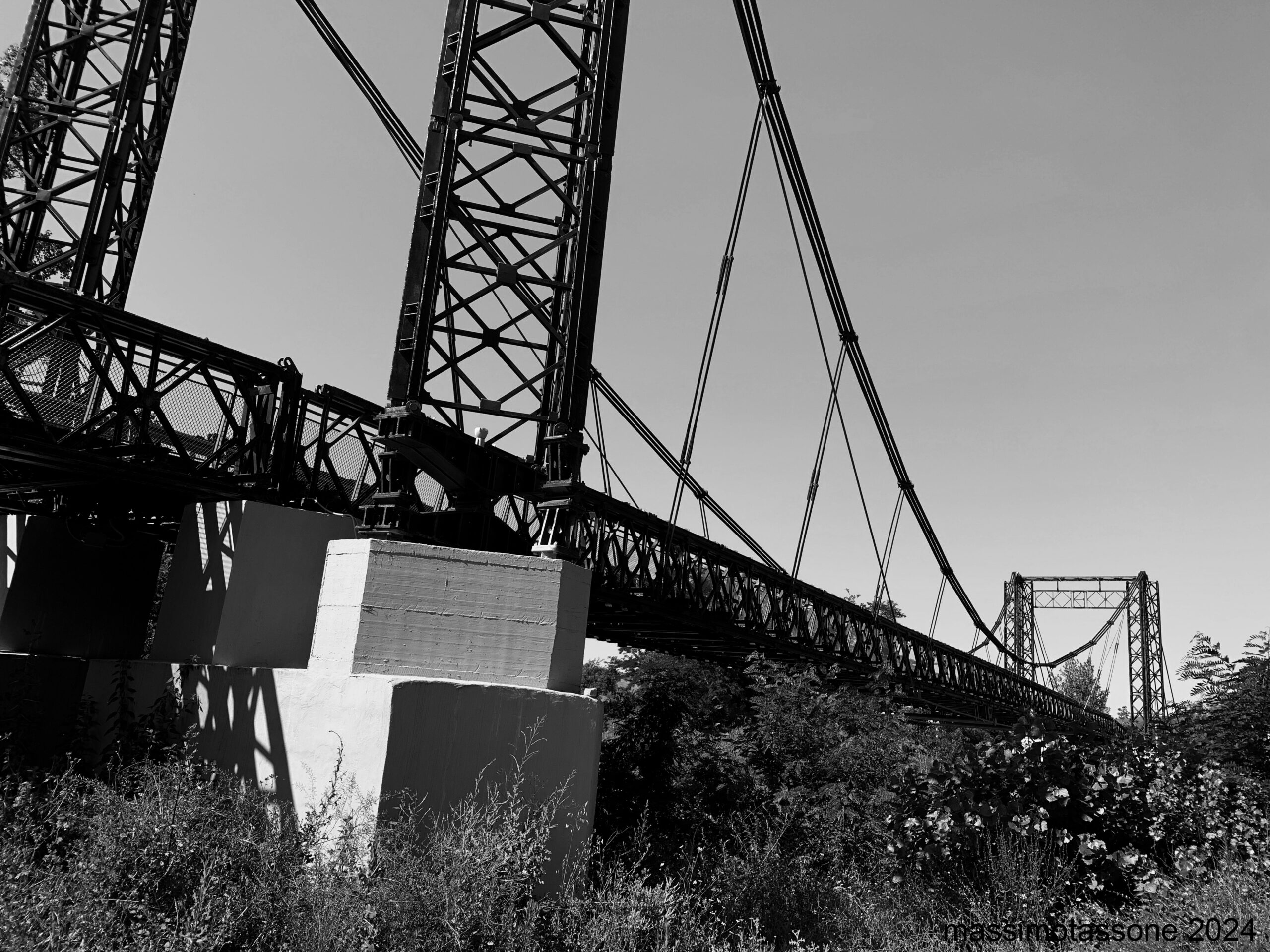
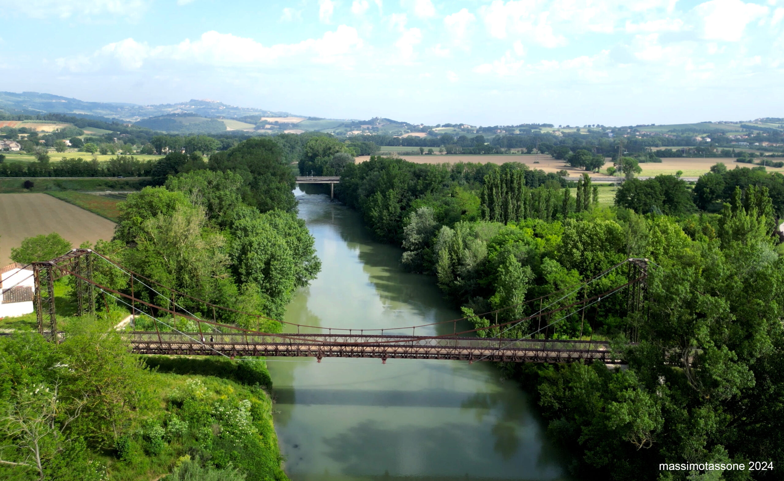
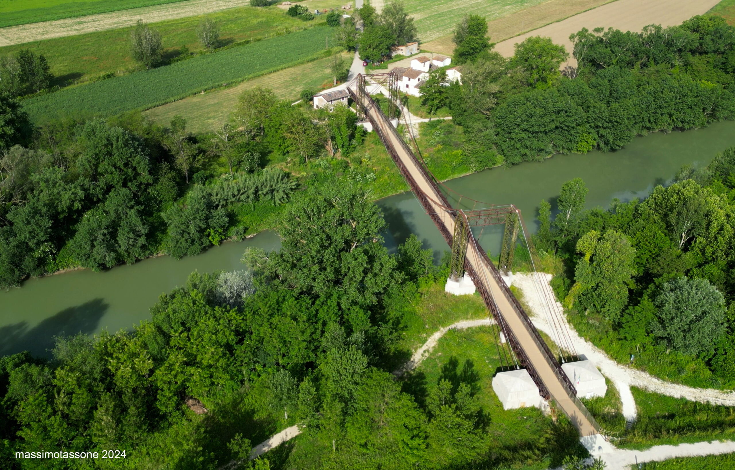
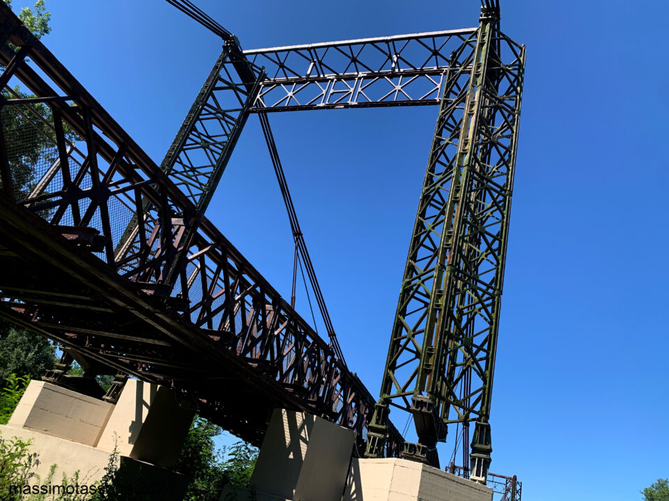
The bridge, recently reinforced with new cables and renovated with an investment of over 1.2 million euros, has been nicknamed the "little Brooklyn" and holds immense historical and cultural value.
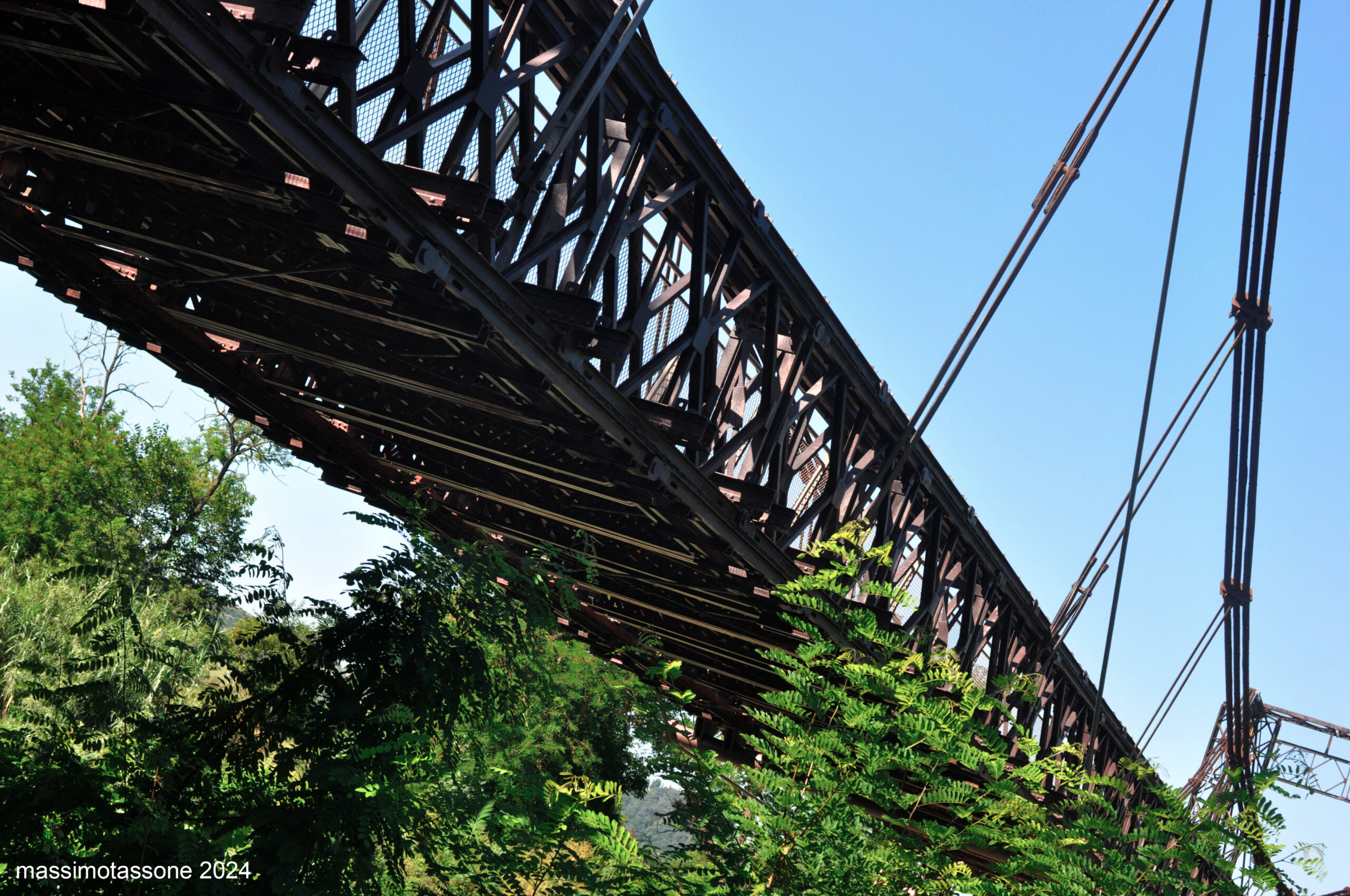
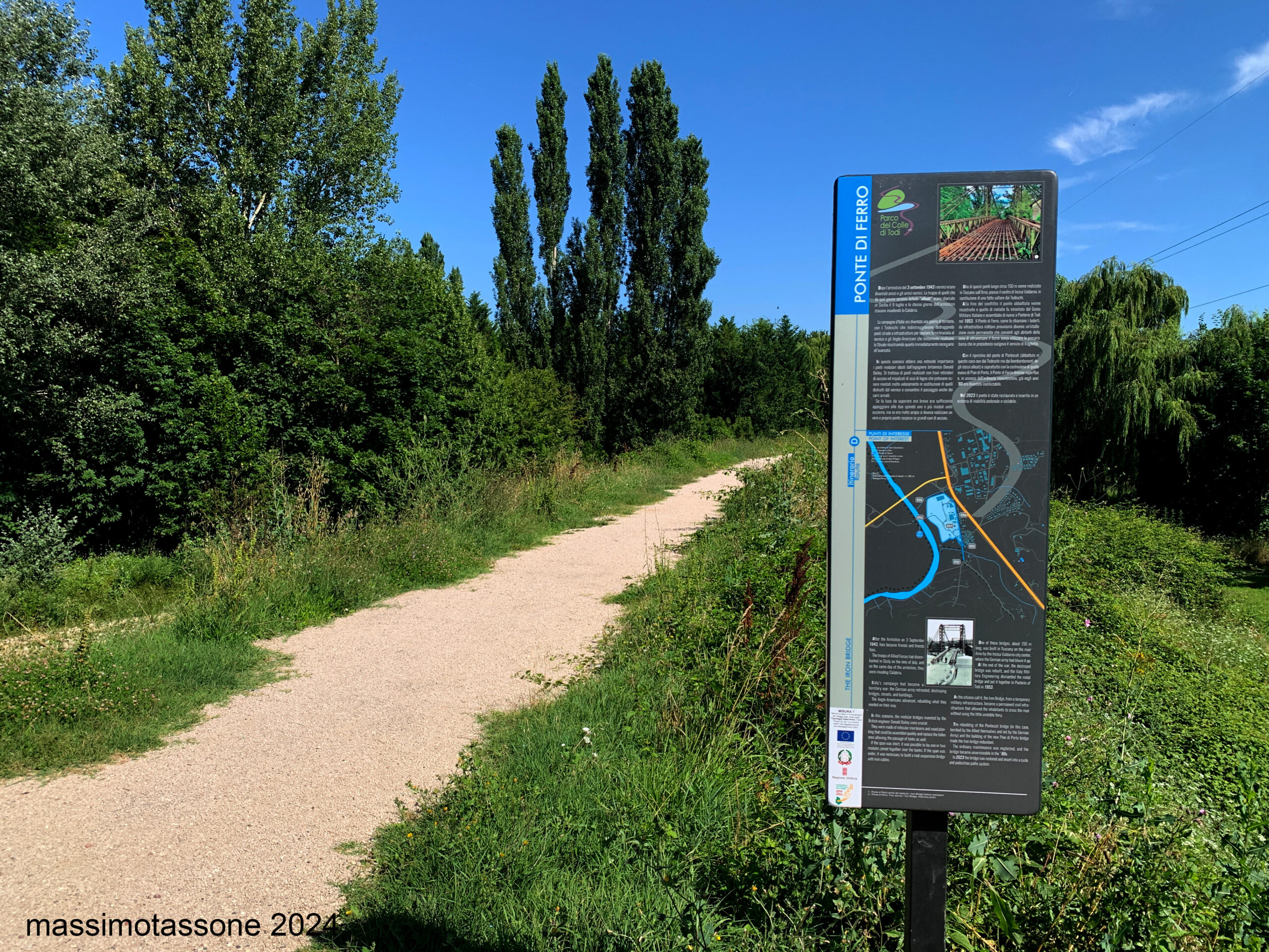
In 1944, with the Germans retreating and destroying bridges, roads, and infrastructure to leave a scorched earth for the enemy, and the Anglo-Americans slowly advancing through Italy, rebuilding what was immediately needed for the advance, the modular bridges designed by British engineer Donald Bailey played a crucial role. These bridges, made of steel truss beams and wooden decking, could be quickly assembled to replace those destroyed by the enemy and allowed the passage of even tanks. One of these bridges was built in Tuscany across the Arno River, near the center of Incisa Valdarno, to replace one that the Germans had blown up.
After the conflict, the destroyed bridge was rebuilt, and the metal bridge was dismantled by the Italian Military Engineers and reassembled in Ponterio di Todi in 1953. The "Iron Bridge," as the locals call it, transformed from a temporary military structure into a permanent civil installation, allowing the residents of the area to cross the river without using the precarious boat that had previously served as the ferry connecting the two shores of Ponterio and Pian di San Martino, two villages on the banks of the Tiber River Park. The bridge has a single span that measures eighty-six meters in length, anchored to two supporting cables with fourteen tension cables on each side.
With the restoration of the Pontecuti bridge (destroyed not by the Germans but by Allied bombings) and, especially, the construction of the new Pian di Porto bridge, the Iron Bridge became redundant. Due to the lack of regular maintenance, it became unusable by the 1980s.
Today, the bridge has been requalified for cycle-pedestrian traffic, further enhancing the "Path of the Furious."
Starting from the “Iron Bridge,” the path follows the Tiber River to the north, passing through sections of lush vegetation and areas with views of the vast cultivated fields of the fertile Pian di San Martino plain. After about a kilometer, the path leaves the riverside and turns towards a small rural settlement called "Case Basse," passes through it, and follows an asphalt road to the hamlet of Pian di San Martino. Before reaching the hamlet, there is a stop at a green area on the right.
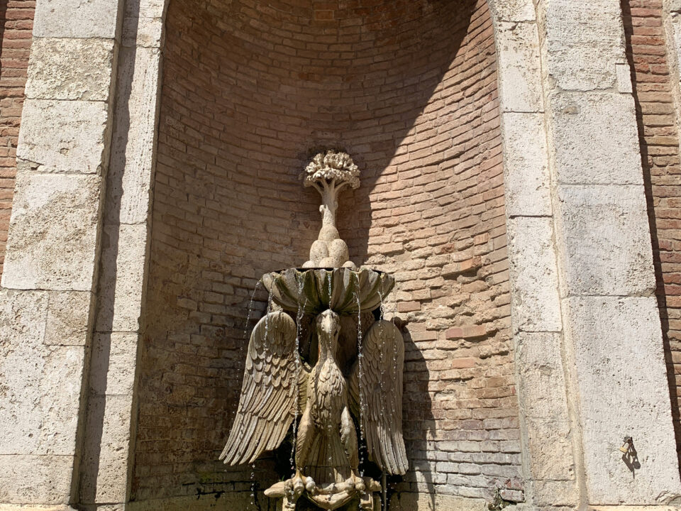
After passing through Pian di San Martino, the path climbs slightly towards Cecanibbi, then turns right towards the group of houses known as "Torre Vecchia," the site of a Roman-era thermal building. After passing the tower, about a hundred meters beyond the cultivated fields, a beautiful masonry fountain appears on the left, with an inscription dated 1847. Not visible from the road but accessible via a detour along the path is Torre Piera, also called Torre Piero, mentioned by Pietro Compagni, who built it in 1416, probably over the remains of a Roman columbarium. The path continues flat through cultivated fields and after a small shrine dedicated to Santa Lucia, it runs along the Tiber River again, crossing small streams, wide wooded areas, and encountering some abandoned farmhouses known as "Campo Stranieri." On the hill above stands the ancient village of Montemolino.
The hill then turns into a small valley, and in this stretch, the Tiber River flows rapidly, earning the name "the Furious" and justifying the construction of a weir and hydroelectric power station. In the past, as evidenced by the toponym Montemolino, there were likely mills along the river, emblematic of an economy based on the cultivation of fields running parallel to the river's course and the subsequent transformation of grains into flour and crushed feed, but also the carding of wool, the retting of hemp, and the crushing of nuts for lamp oil. After passing the weir, the path runs through lush riparian vegetation and ends at the Montemolino bridge, built in 1924. The total length of the path is 7.1 kilometers, mostly on dirt roads (except for the brief section crossing the hamlet of Pian di San Martino), and it is almost entirely flat. It can be used on foot, by bike, or on horseback.


